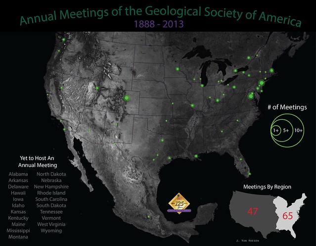
This year marks the 125th Anniversary of the Geological Society of America and the annual GSA meeting is about a month away (October 27-30) and will be held in Denver, Colorado. I was curious about the geographic distribution of historical meetings so I tracked down this reference, which provided locations from 1888-1980 and filled in the rest using the GSA's website. Using QGIS and Illustrator I created the graphic below, trying to capture the relative distribution of meetings throughout the U.S., Canada and one meeting in Mexico.
Note: this graphic only depicts annual meetings not all the section meetings.
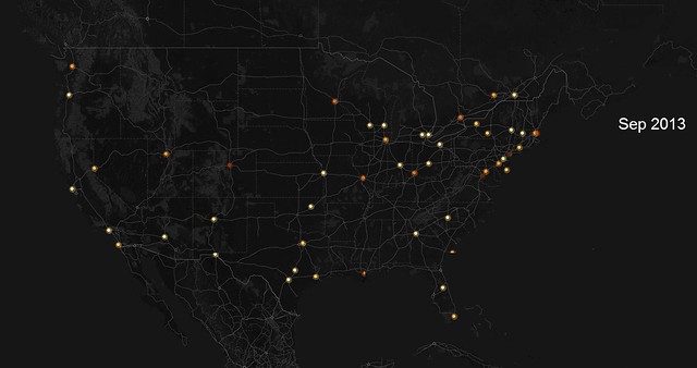
But this static graphic doesn't really capture the temporal aspects of annual meetings locations (primarily held east of the Mississippi River during the early years of GSA). So the animation below allows for a slightly better understanding of how these meetings slowly started migrating to the west starting in the 1980s. You can click here or on the image below to see a full-screen animation. The animation was created by compiling all the meetings by date, uploading to CartoDB and then using their awesome Torque.js library to animate using the date column.
Note: this graphic only depicts annual meetings not all the section meetings.
Note: larger sizes available here
But this static graphic doesn't really capture the temporal aspects of annual meetings locations (primarily held east of the Mississippi River during the early years of GSA). So the animation below allows for a slightly better understanding of how these meetings slowly started migrating to the west starting in the 1980s. You can click here or on the image below to see a full-screen animation. The animation was created by compiling all the meetings by date, uploading to CartoDB and then using their awesome Torque.js library to animate using the date column.

