I was never much of gamer. The last time I lost hours of my life in front of a console - thumbs furiously flying across a controller, eschewing food and sleep - it was 1992... it was the first Nintendo and Princess Zelda needed me. The princess didn't hold my attention for long but the frustration I felt towards the developers deliberate choice to reveal each stage little-by-little was my first experience with the 'fog of war' concept in gaming.

'Fog of war' in Legend of Zelda: http://j-vh.me/1nc7nMP
I've seen this FOW approach (often as masking or vignetting) used cartographically to focus attention on the most important map elements while still providing some regional context. The FOW is described in the gaming strategy literature but I couldn't find any 'scholarly' articles about this strategy in the cartography world (at least explicitly using this language). The word war is often applicable in gaming interfaces but in my opinion, doesn't translate as well to cartography (I don't want to be at war with map users or cartographers)...
I often find myself trying to merge varied interests and it occurred to me that I've employed this same technique in my photographic pursuits. Isolating foreground images from background images using a shallow depth-of-field is common and in addition to isolating subjects, many photographers strive to achieve a nice bokeh effect. Bokeh is the deliberate blurring of background objects that are typically lighter than foreground objects.

Juvenile King Penguin isolated from 100s of adult and juvenile penguins in the background
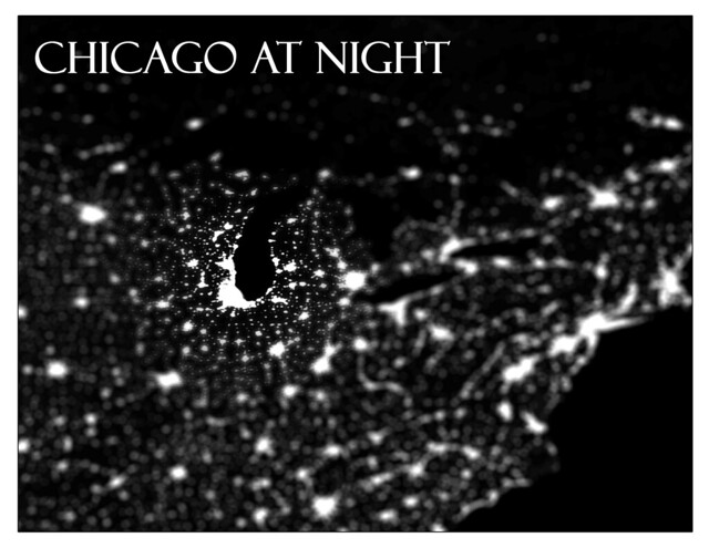
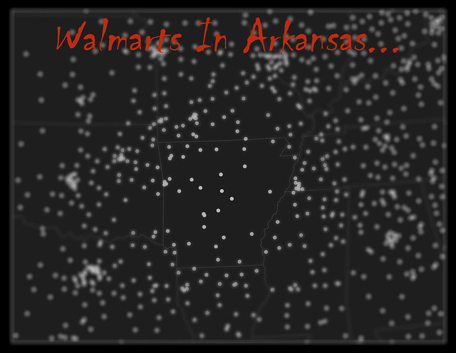
I thought I would try and create a similar cartographic effect. The process involved importing NASA's Blue Marble Imagery into Photoshop, duplicating the image, applying a lens blur to the top image and then burning a 'hole' into the top image over the area of interest. I created three silly maps with different applications of this CartoBokeh technique:

Probably my favorite output from this process

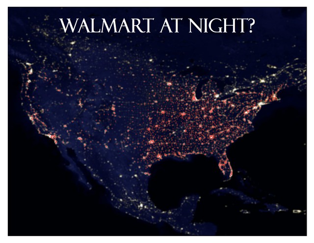
I had a Walmart KML and figured I'd see what this looked like with points rather than background raster images

Overlay of Walmart points on Blue Marble imagery after CartoBokeh
So I'm wondering if this technique seems useful - or in the words of Kai Wong "bokehlicious" or is it too much effort for too little cartographic return? Personally I like the effect it has with the Chicago image but like all map decisions there needs to be a reason/value for using this - needs to add to the map rather than seem like an afterthought (which is how the Walmart on Blue Marble feels). So just exploring a new approach and new language to the fog of war.